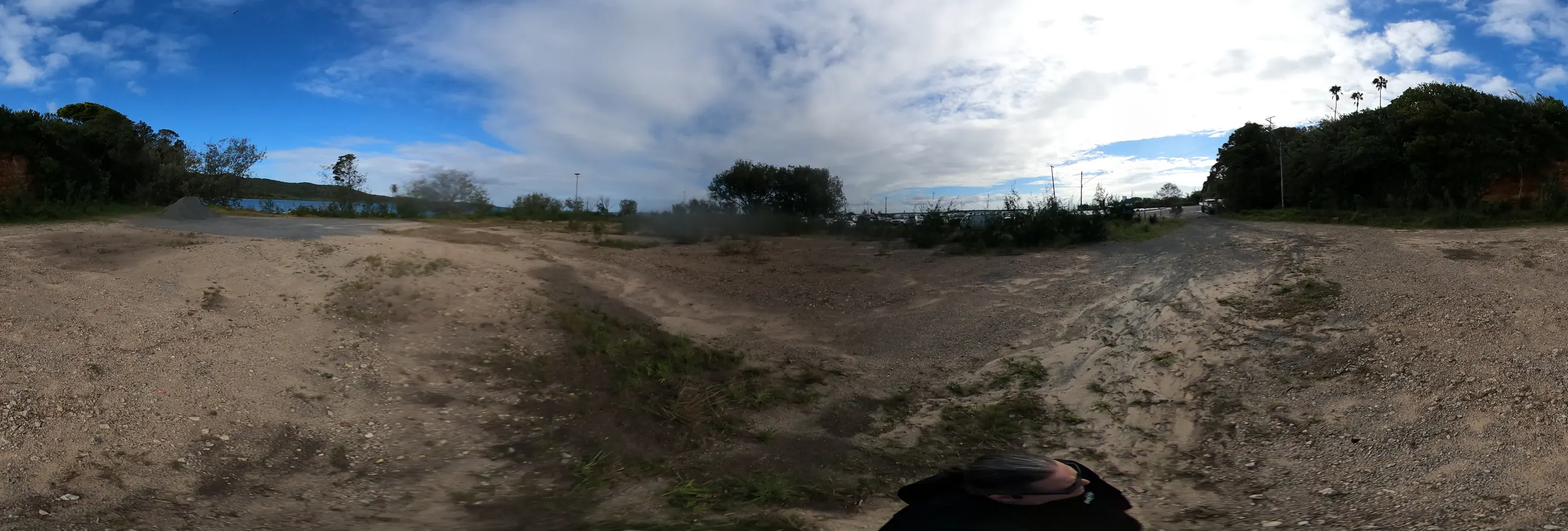
A rough site walk from community 360 photos.
The points below come from rounded GPS in GoPro Max 360 photos. They are good enough to prompt discussion and early world-building, but they are not cadastral, engineering or survey data.
Hero image: wide site-photo crop from the current community 360-photo intake.
Pick a GPS point, look around, save the view.
The map uses a supplied satellite screenshot with rounded GoPro GPS points over the ferry terminal site. Use it to choose a public photo point, inspect the 360 view, save a normal-looking angle, then pair that saved image with a labelled concept prompt.
The 360 viewer needs WebGL. It should work in current Chrome, Edge, Firefox and Safari, but some older laptops, older operating systems, locked-down browsers or disabled hardware acceleration may show only the fallback. If that happens, use the thumbnail, raw panorama strip or downloads instead.