Evidence
Start with the 360 photos already loaded in this repo, plus the hall display photos, notes and official source links. Use future capture time for drone footage, LiDAR point clouds and missing official files.
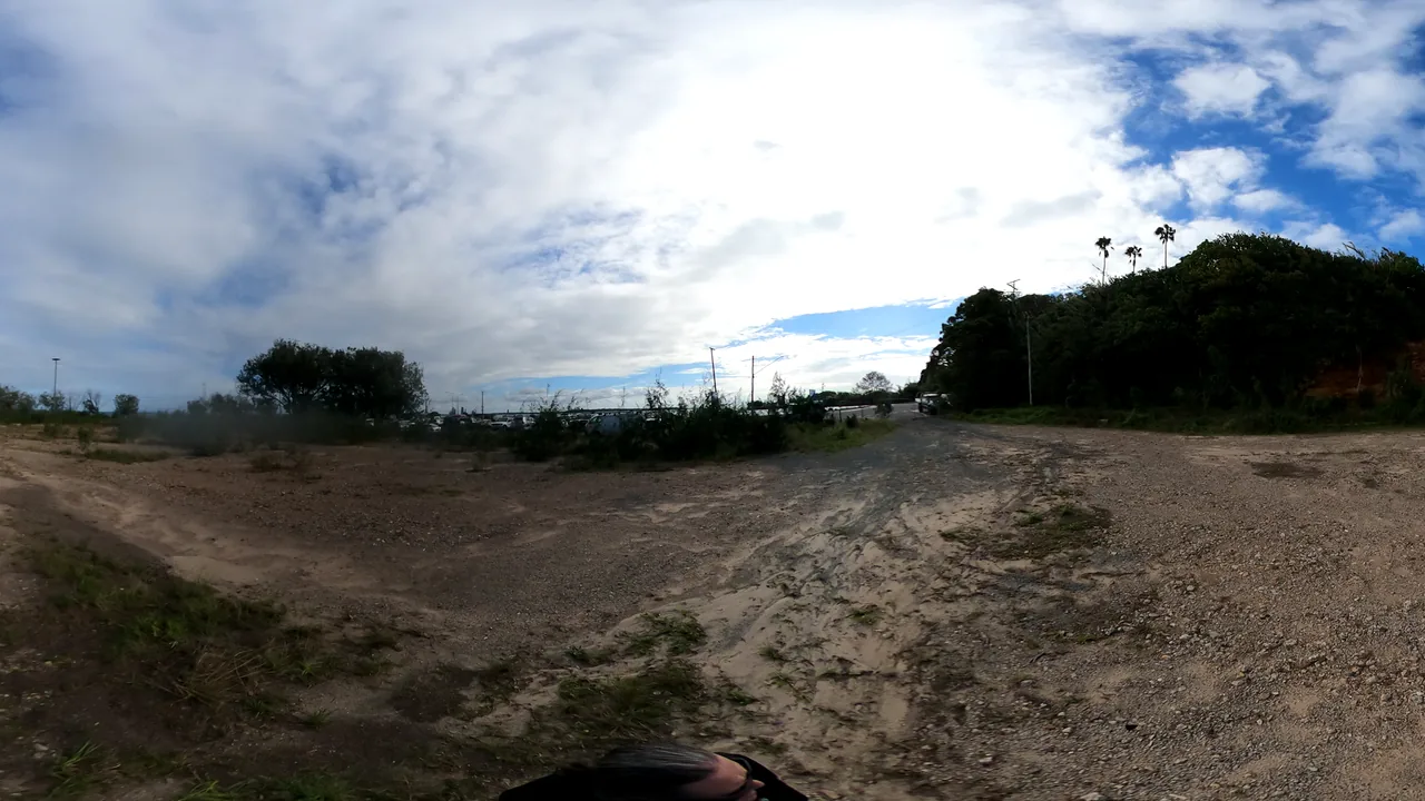
This page starts from the 360-photo set already in this repo. The next capture layer is drone footage, LiDAR point clouds and official source files.
Hero image: foreshore track and terminal approach from the 360-photo intake. Good enough for first-pass prompts, not engineering decisions.
Start with the 360 photos already loaded in this repo, plus the hall display photos, notes and official source links. Use future capture time for drone footage, LiDAR point clouds and missing official files.
Choose one design lane: transport, shade, culture, ecology, local enterprise or maker-space R&D. Write the idea in plain words.
Use an image model, world builder, Meshy-style asset tool or Blender scene to make a visual draft.
Ask what is wrong, missing, unsafe, culturally sensitive, technically impossible or worth exploring.
Publish only the public-safe version: source links, image/model, status label, review notes and the next question.
Use one 360 photo or display-board crop as reference, then ask for a clearly labelled concept image. Best for shade, seating, signage, public screen and arrival-feel ideas.
Use World Labs Marble or a similar world tool when people need to move through a place. Best for arrival routes, waiting zones and how a design feels from eye height.
Use Meshy-style tools for objects: benches, shelters, signs, kiosks, shade modules, small retail pods, railings, block prototypes or art objects.
Use Blender when outputs need to be placed, scaled, cleaned, exported, annotated or handed to someone technical for better review.
Use phone/drone footage with Scaniverse, Polycam, RealityScan or similar tools when the goal is a spatial scan rather than an invented design.
Use LiDAR when the community needs terrain, levels, dimensions and constraints. This is where official release or funded survey work matters most.
Create an explorable 3D world from this 360 panorama of the Dunwich (Gumpi) ferry terminal area. Preserve the ground plane, horizon, vegetation and ferry-gateway feeling. Add only clearly labelled concept elements: shade, seating, safer pedestrian line, public information screen. Avoid official logos, fake approvals and sensitive cultural claims.
Create a low-poly public information kiosk for an island ferry terminal. It should be weather-resistant, readable in sun, accessible from a wheelchair, and suitable for local event notices, ferry updates and emergency fallback. Export as GLB for Blender review.
Capture nadir and oblique video over the public terminal study area, following CASA rules and local permissions. Deliver MP4, still frames, camera path notes and a public-safe capture log. Do not fly over crowds or expose private property details.
Please provide public-safe LiDAR point cloud, ground survey and CAD/GIS reference files for the Dunwich (Gumpi) Ferry Terminal Upgrade consultation area, with licence, coordinate system, capture date and accuracy notes.