Level 2 (L2) bioregion scale
An archipelago shapes a bay. A bay belongs to a watershed.
Level 2 (L2) prepares external world-building briefs for shared bioregion-scale questions. Minjerribah and the Moreton Bay island chain are one example: islands help shape the bay, the bay receives the watershed, and the whole system needs clear shared information, better decisions and responsibility across scales.
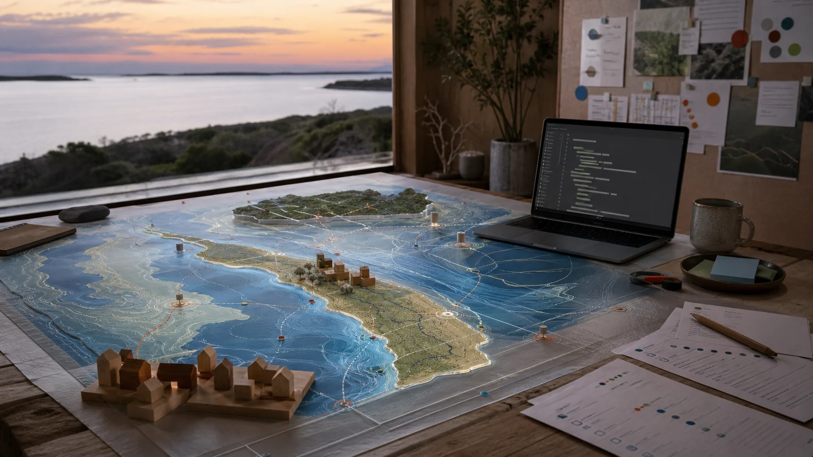
Moreton Bay example
A bioregion prompt needs water, land, people and responsibility in the same view.
External source checks place Moreton Bay in a large South East Queensland catchment with major rivers, offshore sand islands, Ramsar wetlands, seagrass, mangroves, intertidal flats and strong cultural, ecological and recreational value. The Commonwealth Ramsar page lists the Moreton Bay Ramsar site as 120,639 hectares, fed from a combined catchment of about 22,000 square kilometres. This is one example of a wider pattern: bioregions need shared information that is clear enough for people to make better decisions together.
Mirror Country
The Level 2 (L2) twin is a rehearsal room, not a judge with a gavel.
The archive phrase "Mirror Country" keeps the spirit right. Input a route failure, public-space option, ferry pulse, heatwave, health surge or festival day. Output a rehearsal scene that shows consequences before they harden into conflict.
Island and bay pulse
Ferries, events, visitors, jobs, weather, public screens, health support, waste, food logistics and water movement.
Watershed pressure
Catchment inflows, wetland health, coastal erosion, storm tide, freshwater refuges and upstream choices.
Shared information map
Level 1 (L1) projects, shareable summaries, source dates, revision paths and visible live links.
Try the smaller yes
A simulation prompt can compare a heavy option with a smaller, kinder option before people spend money or energy.
Public source doors
Start with public map facts, then add chosen local detail.
Commonwealth Moreton Bay Ramsar page
Official Ramsar site size, listing date, catchment context, wetland types, biodiversity values and cultural/social/economic notes.
Open Ramsar pageQueensland Minjerribah ranger page
Official summary of Quandamooka Rangers, Quandamooka Yoolooburrabee Aboriginal Corporation as host organisation, land and sea management work and review date.
Open ranger pageHealthy Land & Water report card
South East Queensland report card and technical reports for catchment, estuary, marine water quality and seagrass context.
Open report card