
Bridge atlas
Every border, a bridge.
See where groups, bridge work and public experiments are gathering across Earth.
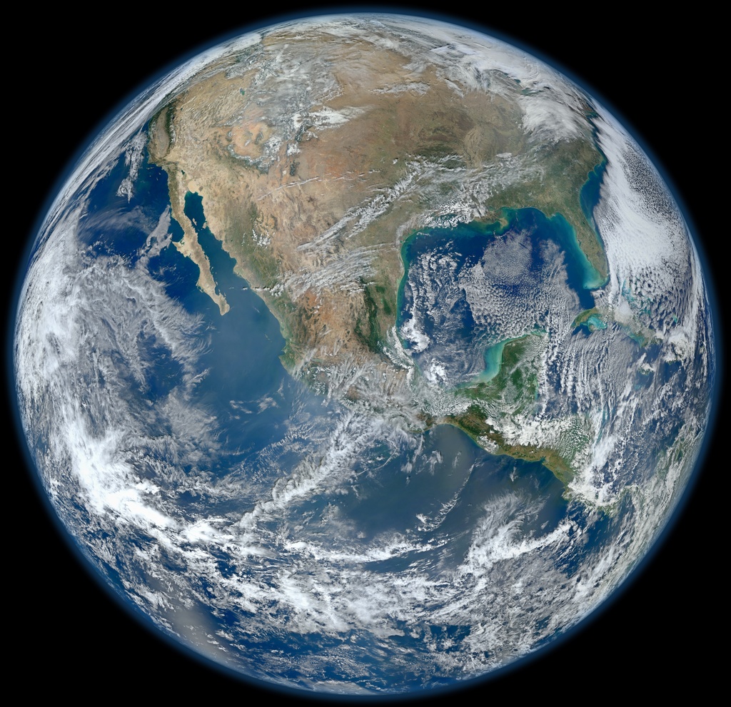
The Earth image uses NASA's 2012 Blue Marble raster. The interactive atlas opens below.
Source and full credits: NASA SVS 30002 (opens in a new tab)Bridge atlas
Where the next trace appears.
Move between sphere and flat views, open a public trace and follow its source. Each record begins at the location scale chosen by its contributor.
Loading neutral satellite atlas.
Base imagery is Sentinel-2 cloudless by EOX IT Services GmbH, containing modified Copernicus Sentinel data 2016. The map engine is MapLibre GL JS.
Read map source notesPublic map records.
Select a public record to open its story, broad location and source.
Records in view
-
A broad origin marker for this public site build, honouring place while leaving room for future venue and member traces.
Open source (opens in a new tab)
The first group invitation is open. Each new marker can carry consent, place precision, source notes and a way back for correction.