Site and access

A long narrow site needs rhythm, not clutter.

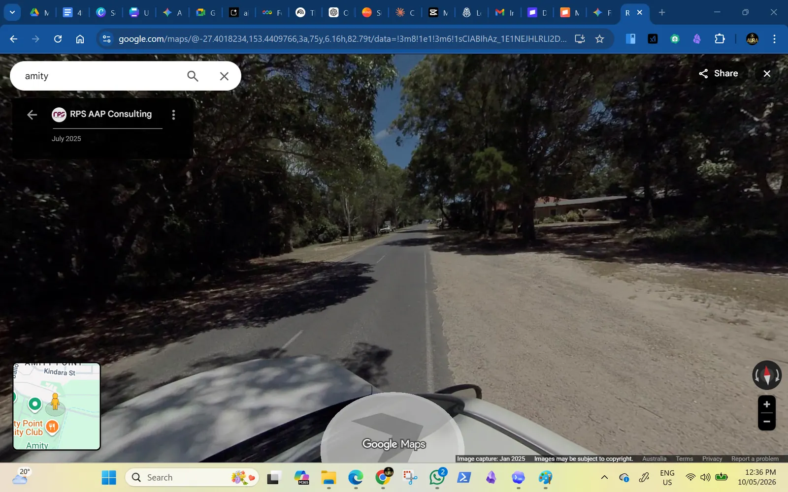
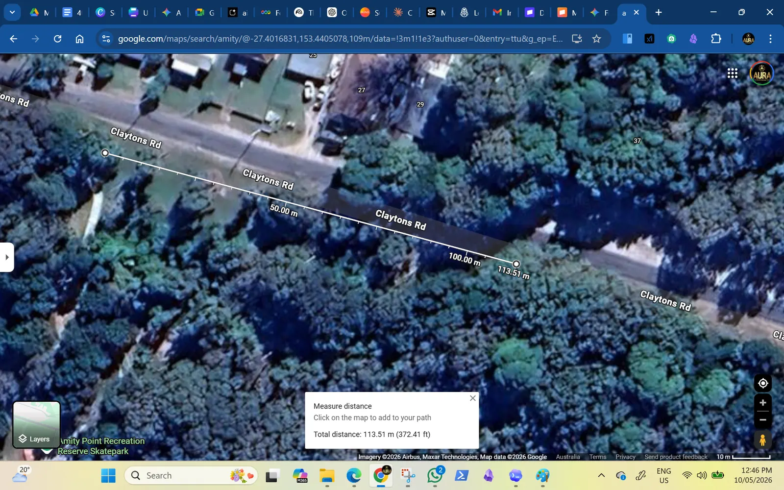
The proposed exercise strip is roughly over 100 metres long and 15-20 metres deep, with sparse trees and a road edge that already attracts crossing, parking, tour and wildlife-viewing movement. The site plan should spread people out without making the park feel empty.
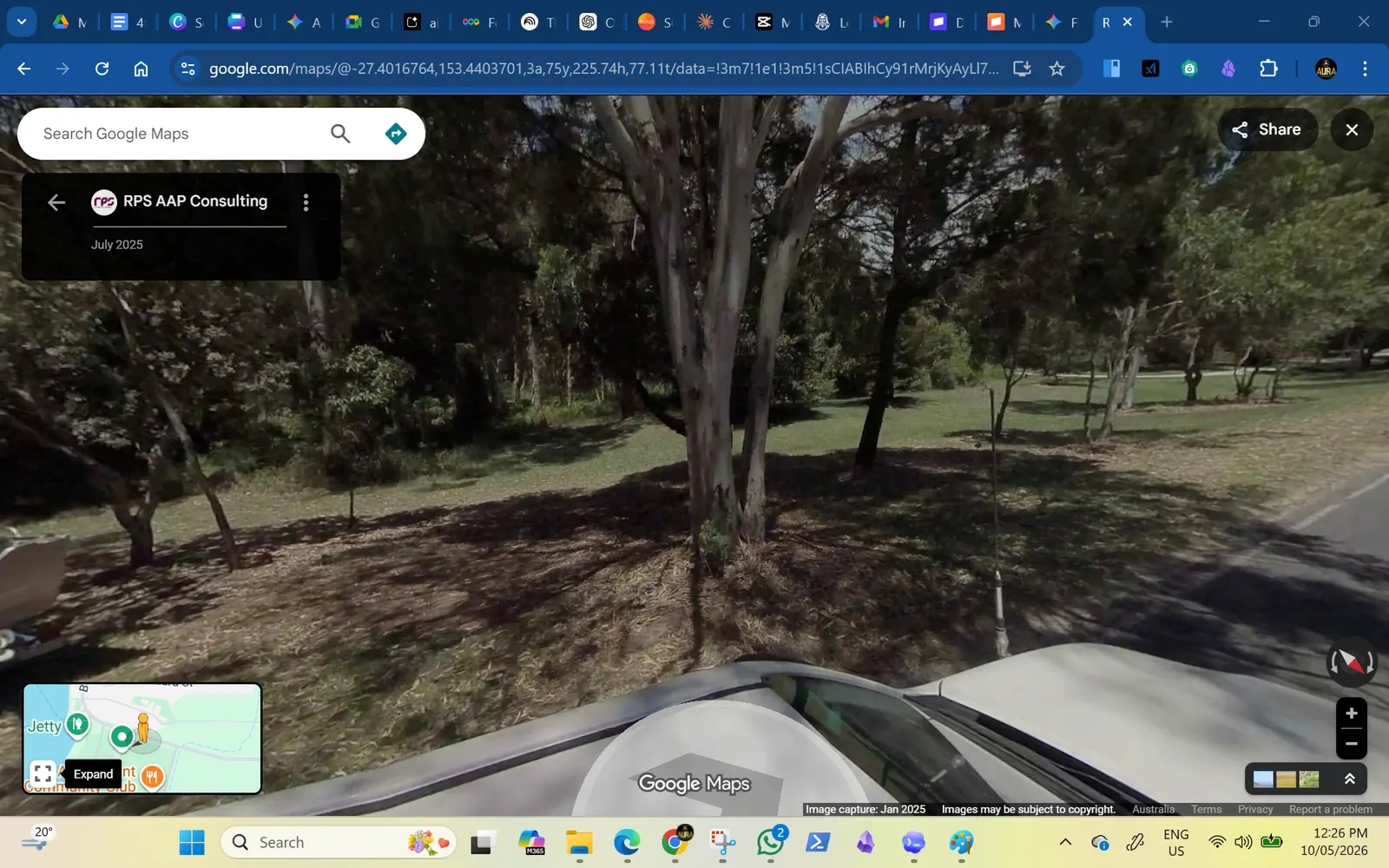
Sparse-tree reserve edge beside Claytons Road.
A long reserve edge can support activity pockets, rest points and clear sightlines.

Scale logic

Plan the strip as a sequence of small destinations.

Not every metre needs equipment. The stronger layout is a few clear activity pockets with open space between them: enough interest to attract people, enough breathing room for shade, access, future planting and wildlife-aware movement.
West entryArrival and stretchgentle warm-up, seat, QR sign
Middle shadeBalance and mobilityolder users, families, slow routines
Open sectionStrength backbonebars, rails, bodyweight loop
Motion pocketLow-impact machinesbike, air walker, surfboard, tai chi
East crossingTraffic-calmed accesscrossing, speed cushions, water check

Quick site note

How dense should the equipment feel?

The strip is long enough to spread out, but too much spacing could make the park feel thin.

Saved for the final page.

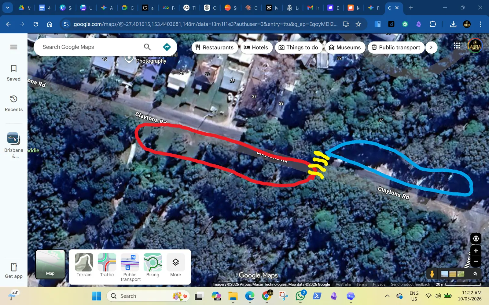
Annotated aerial showing activity area, parking and crossing point.
Whole proposal: activity strip, road-base area and crossing point.
Map reference checking walking distance and crossing location.
Crossing position needs on-site measurement and Council advice.
Potholes and unsealed parking road edge.
Potholes and road-edge wear are part of the user-access problem.
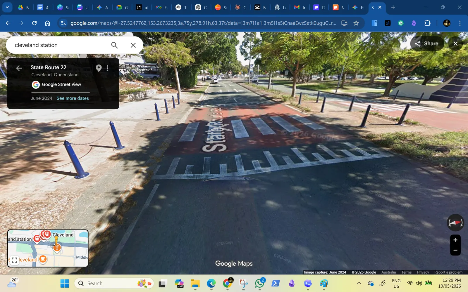
Raised crossing and slow zone example.
Raised crossing / slow-zone precedent for discussion, not a final design.

Quick access note

What behaviour have you seen in this exact area?

Write it while the photos are fresh.

What have you noticed?

Saved for the final page.